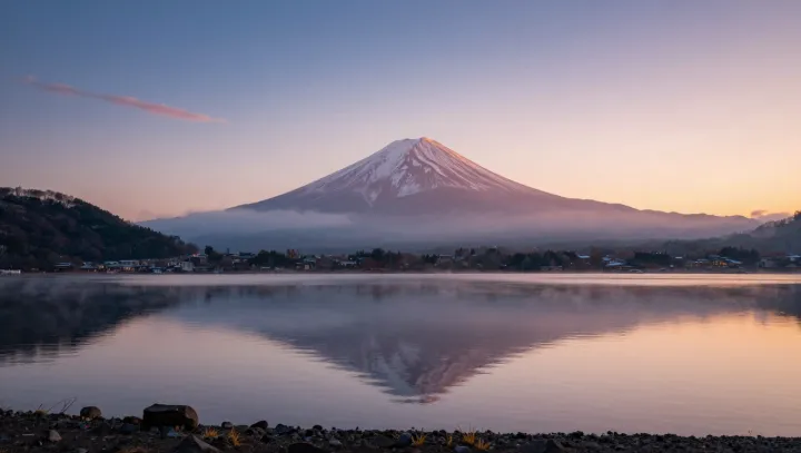
Stillness on a volcano is often a lie. Under that clean sunrise profile, the cone can be flexing by just a few millimeters, its rocky shell acting less like rigid stone and more like a slow, pressurized membrane over a magma reservoir.
Those tiny shifts matter more than any dramatic lava shot. As magma intrudes or withdraws, it changes stress in the crust, producing vertical and horizontal motion that satellites can track with interferometric synthetic aperture radar, or InSAR, and dense networks of high-precision GPS receivers. By comparing repeated radar passes, scientists build interferograms that turn invisible motion into colored fringe patterns, each band recording displacement on the order of centimeters or less.
Skeptics might call millimeter-scale bulges trivial, yet hazard models increasingly treat them as early evidence of unrest. A few fringes of uplift can flag magma accumulating in a shallow chamber; a subtle sag can hint at drainage or depressurization. Linked with gas flux data and seismicity, these deformation signals feed probabilistic eruption forecasts and help decide when to raise alert levels or evacuate. So a volcano that looks perfectly composed at dawn may, in the radar record, appear restless and breathing.